High quality professional CAD services in 2D draughting, 3D modelling & visualisation and historic building surveys.
Digital Terrain Model (DTM) and contour mapping from landscape and topographic surveys such as localised Laser Scanning and remote sensing technology (LiDAR). Our terrain modelling has wide range of uses from interpretation to 3D fly-through animations.
Our core services are:
- Digital Terrain Models (DTM)
- Contour Mapping
- Manipulation and interpretation of point cloud data (Laser scanning)
- On site surveys
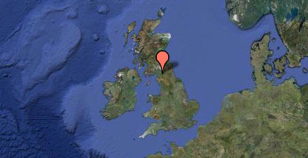
- Site locations planned and mapped onto OS digital data
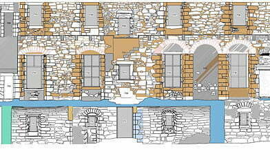
- As-built drawings for historical conversions
- All Sketches to CAD format
- Architectural building drawings to CAD format
- All types of file digitizing conversion i.e. georeferncing and PDF to DWG
- Cleaning up of Architectural drawings, ready for use as Xrefs within Building Services drawings
We provide a full range of cad drafting and conversion services including building plans, extensions & additions, working drawings, as-built drawings. We can, if requested, follow your CAD, Layering & Colorgamma standards and then apply your standards consistently across the life of your project.
For more information please contact Dr Shelly Werner.
Email: swerner@cfa-arch.co.uk
Phone: 0131 273 4380