Archaeological Strip and Record
An archaeological strip and map along with the recording of architectural features observed on the east gable end was carried out at Cinderhill Farm, Coley, West Yorkshire. An area of 3.6 by 7m was excavated. The remains of a wall, two flagstone surfaces and two pits (one stone lined) were discovered. Finds were of 19th and 20th-century date and included coins, buttons, marbles and some pottery.
Subsequent to the removal of the render on the east gable end of the building two blocked doorways were evident along with a timber beam. Some brick patching was also observed just below the projected floor/attic level of the building.

The flagstones lay immediately below the surface and consisted of flagstones covered in degraded but easily identifiable linoleum of a reddish orange colour. A coin dating 1870 was recovered between the linoleum and the flagstones. The second flagstone surface lay to the west and was a surface similar to that of the first, but very broken and irregular, possibly the result of compression damage or the result of damage occurring during the demolition of the ‘cross-wing’ building.
Beneath the broken flagstone layer was a small square stone-lined pit filled with ash and cinders. It is likely that this was an ash pit for a hearth, possibly associated with an earlier building.
Funding Body Mr Graeme Henderson
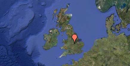
NGR SE 117 268
SIGNIFICANT FINDS: Walls, Flagstone surfaces

