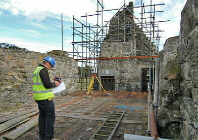
Central to our contracting and consultancy services is the importance of accurate and reliable data capture, manipulation, analysis, management and storage of all types of metric and geographical survey data.
We provide both TPS and GNSS survey solutions for the purposes of :
- Topographic and landscape survey
- Measured building floor plans
- Building elevations
- GPS survey (survey control/sub-centimeter accuracy)
- Geographic Information System data collection
- GIS analysis
- Site survey
- Digital terrain models (DTM)
To discuss how we can help you please contact your regional office or contact general enquiries: