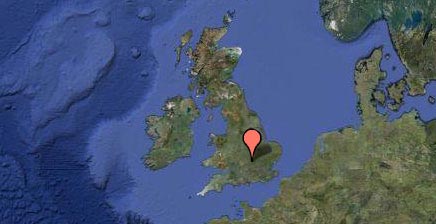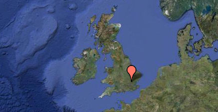
A geophysical survey was undertaken to attempt to provide an archaeological context to finds recovered from fieldwalking. Gradiometer survey was conducted over the recently seeded arable field, covering an area of approximately 12ha.
The survey data are dominated by responses from modern fired and ferrous material and land drains. Some clusters of potentially archaeologically significant anomalies were detected. Whilst no clearly defined archaeological responses were detected in the vicinity of the find spots, very weak suggestions of ditch-type anomalies and an adjacent palaeochannel provide a possible indication of the survival of features that may be associated with the finds.


